
The days are flying by –

A bike ride was on the agenda for Friday. David said we’d go about 18 miles to a nearby town called Bobadilla. It ended up being 21.6 miles because, I think, we got to Bobadilla a bit too fast…so let’s go just a bit further to Bobadilla Estacion.

I didn’t know my camera lens was fogged up – but I didn’t get many pictures on this ride, so here it is.
At Bobadilla Estación, we stopped at a small cafe -one that defied any effort to get a picture that would give an idea of what it looked like. Somewhat nondescript really.

On the way back, we passed through Bobadilla again. Bobadilla is a cute small town – and the picture below was my effort to capture that in a picture – I failed.

This bike ride just didn’t have much in the way of scenery or points of interest. It was just a get the miles done kind of ride.
I’m not big on taking pictures of food in general, but for lunch I decided to try something I hadn’t tried before. This is described as a salad of tomato, green pepper onion, cucumber and chickpeas. The “dressing” seemed to be a mix of olive oil and red wine vinegar. It was actually surprisingly good. I might try to duplicated it at home.

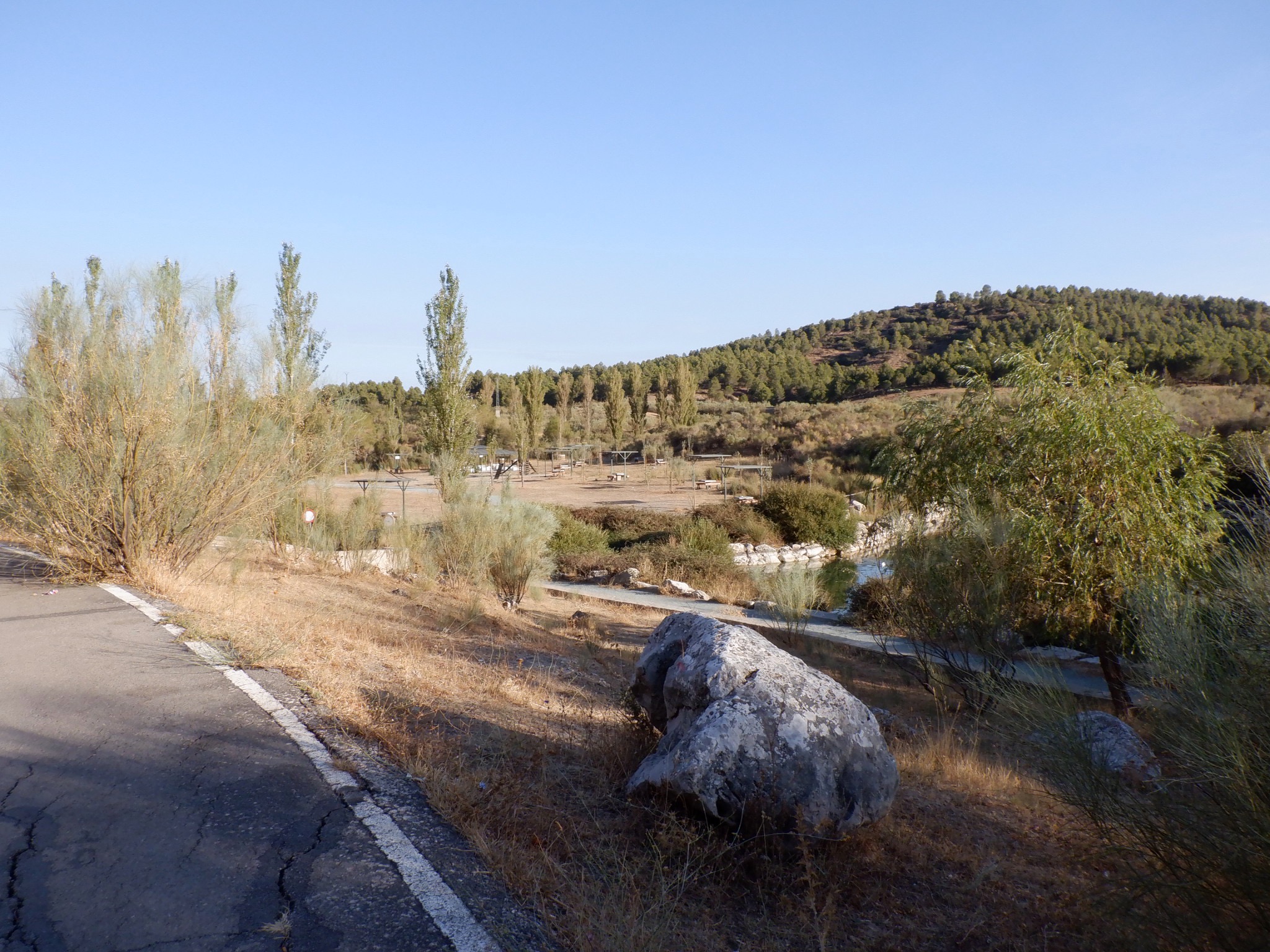
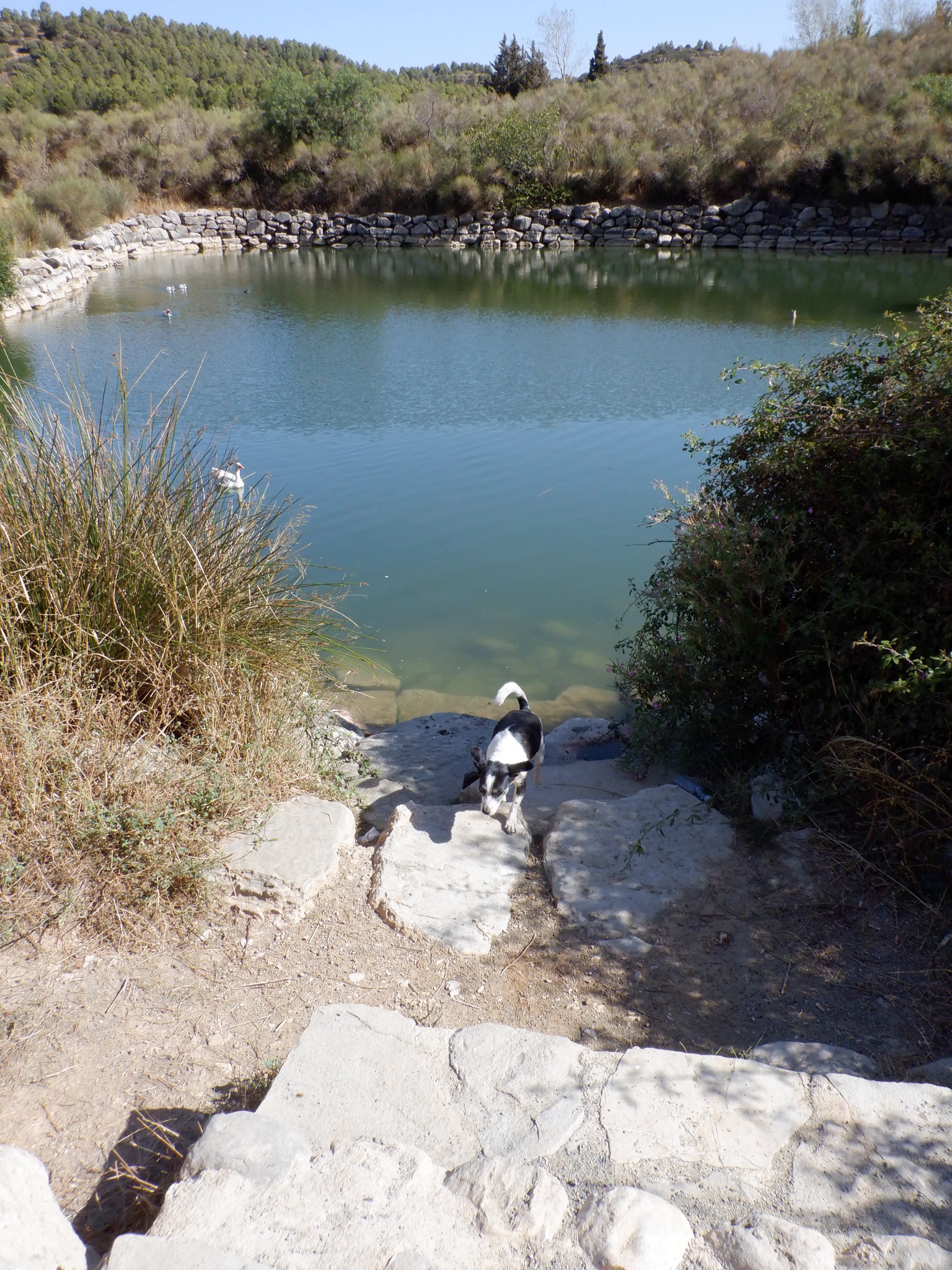
The weekend is a bit lower key than the rest of the week. On Saturday, we did a six mile hike on the outskirts of Antequera. We started near a park with a pond. The park was quite large and had a lot of picnic tables and a playground.
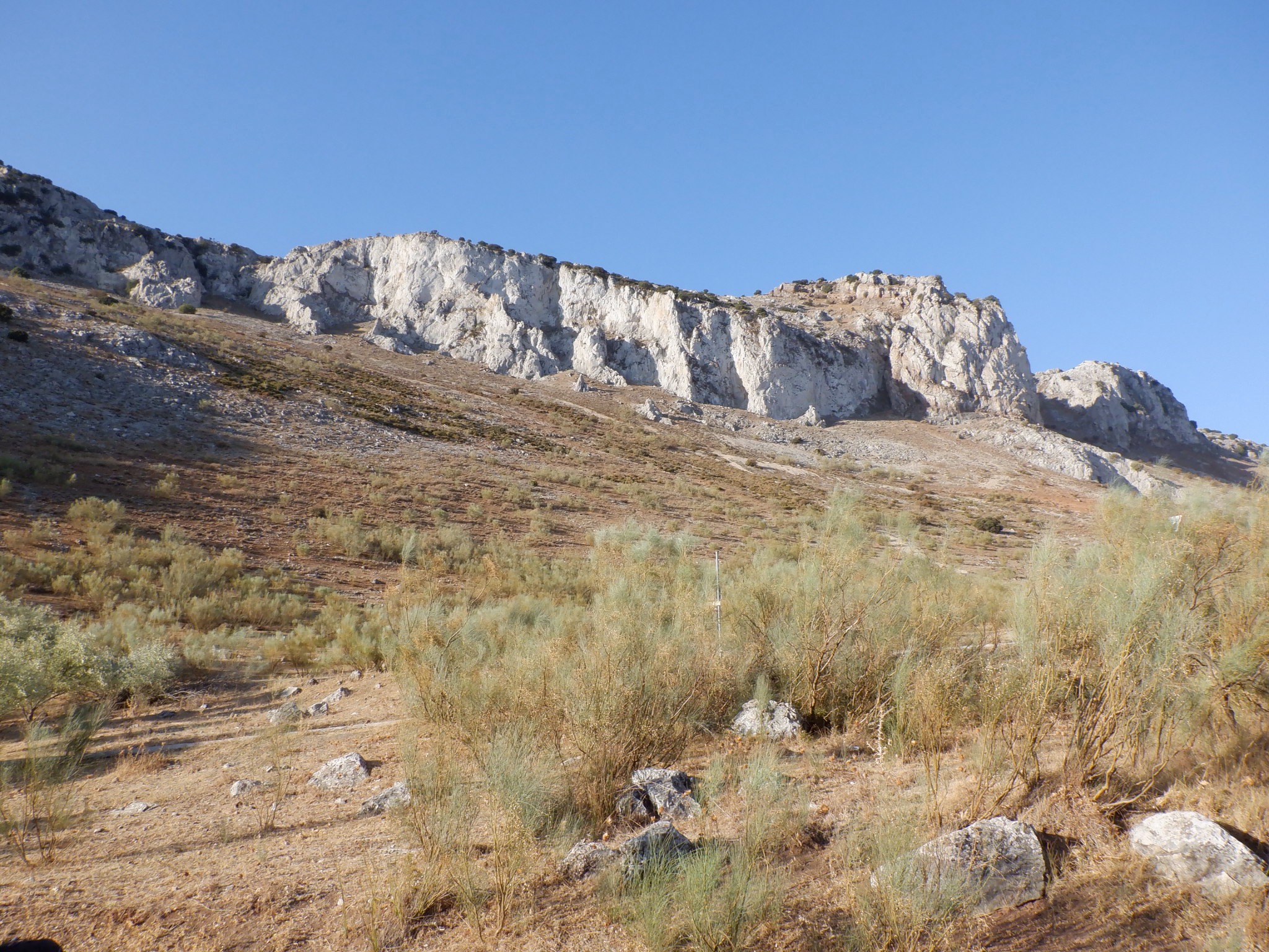
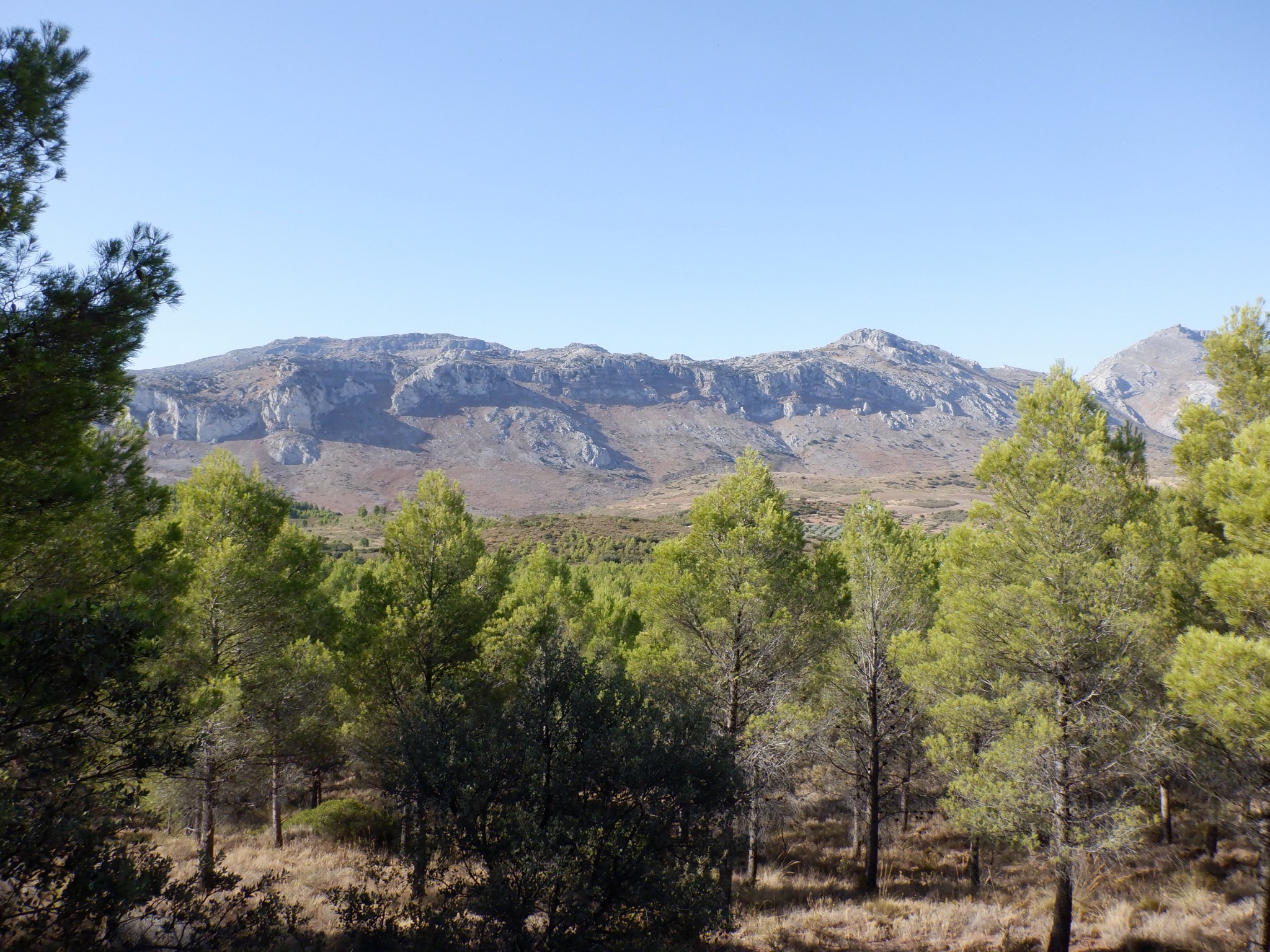
We were just below (sort of) the Torcal mountain. Oddly the picture makes it look a lot flatter/lower than it looked to my eye.
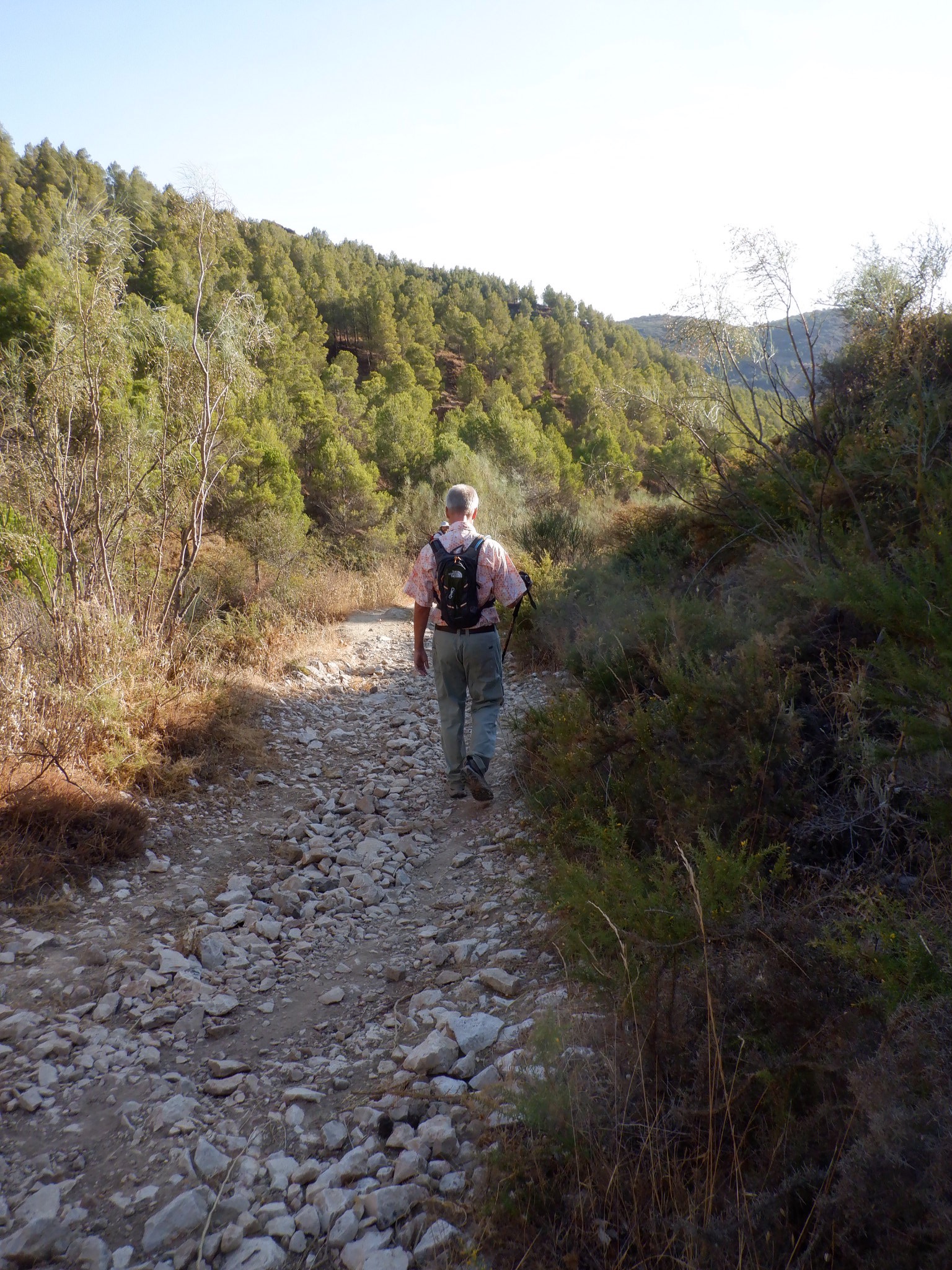
On this hike we experienced in person the saying: “There’s a rocky road ahead“. Fortunately it didn’t last long.
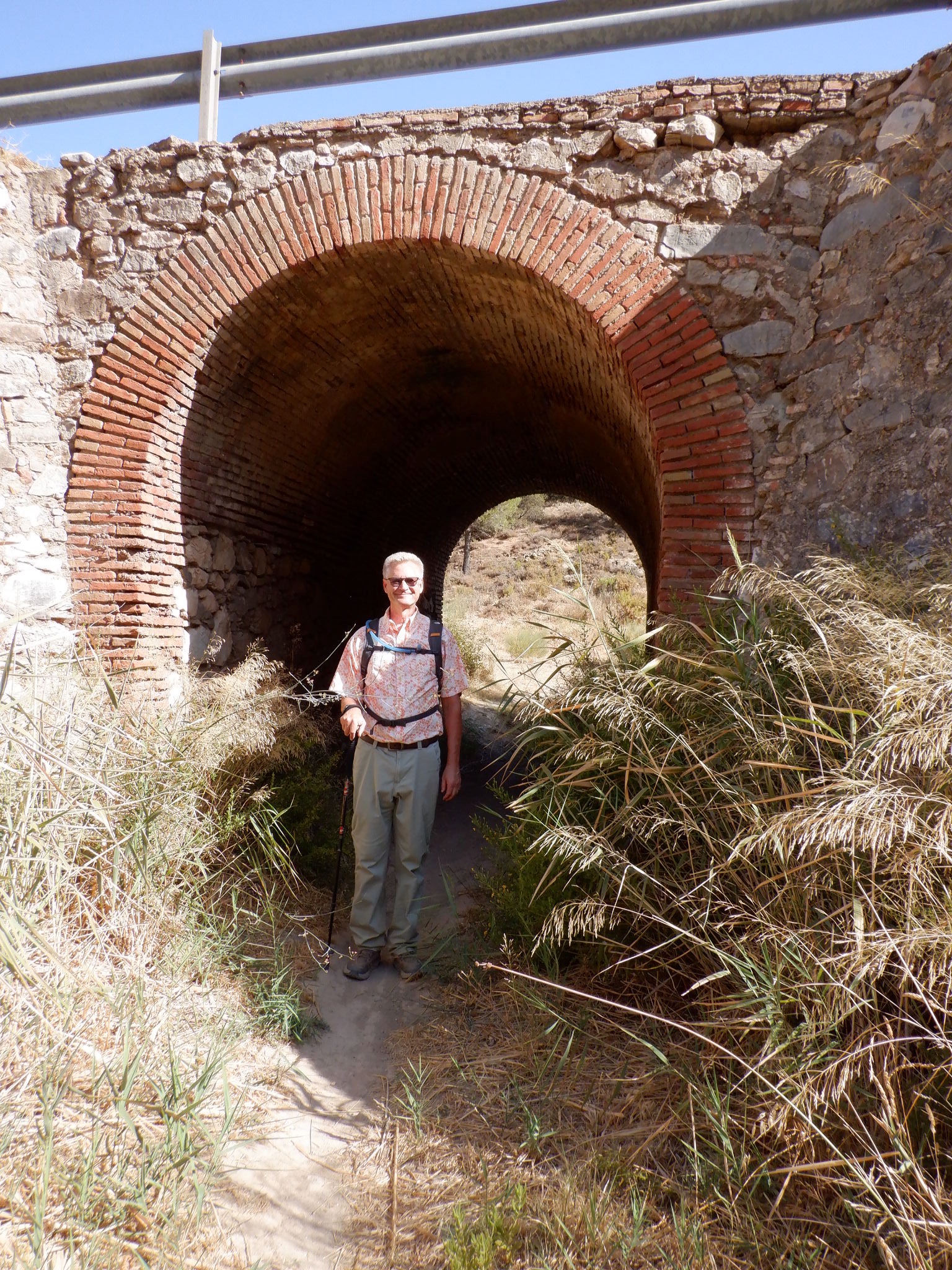
After a bit of walking we came to this ruin.
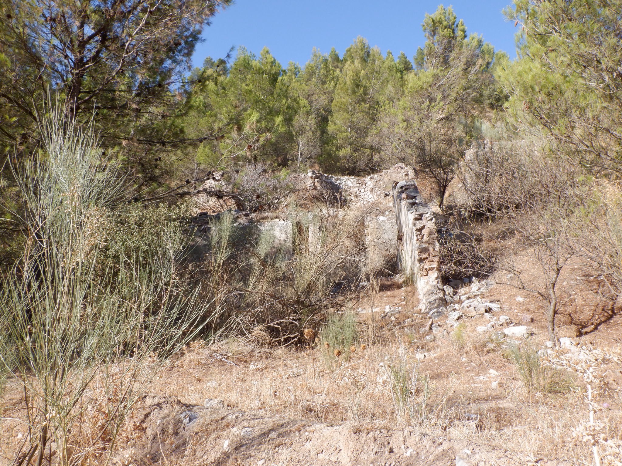 David explained that the area we were walking through was along a small river valley that once had people living along there. It is now considered public land and open to anyone who wants to use it for recreational use. David said that this ruin was an “oven”. There are gypsum deposits in this area and if I understood David correctly, they had to “bake” the gypsum to remove the impurities. After that it was sold for various purposes, but the main one David mentioned was for paint. I wonder if it was a version of whitewash? Many villages in Andalucia (the region we’re in) have laws that the houses must be painted white. There is a whole “thing” about people wanting to visit the “White Villages of Andalucia”.
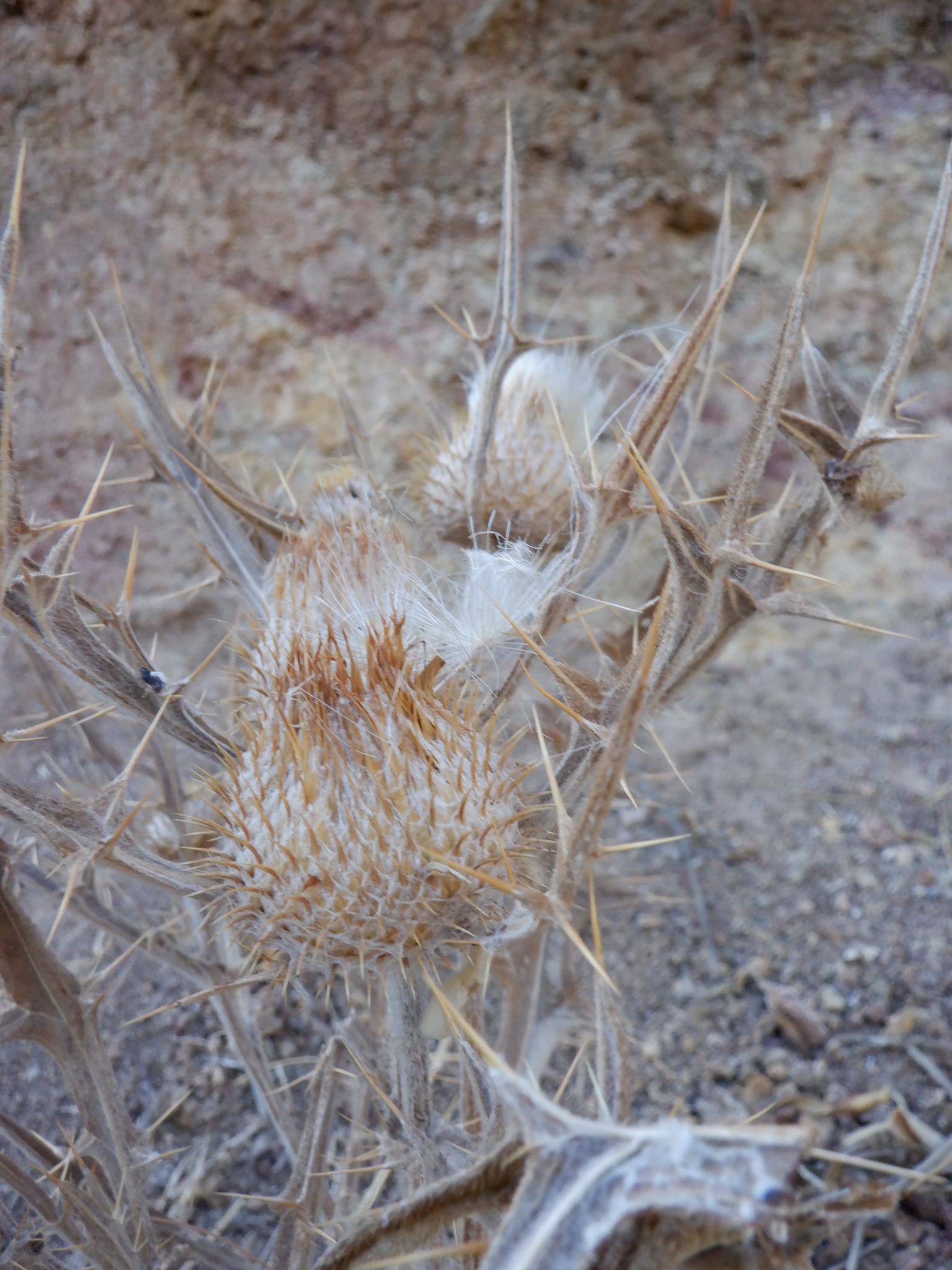
More dried plants:
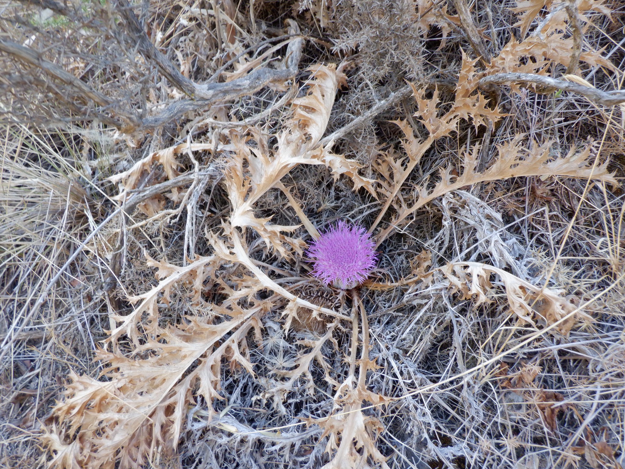
In this one -a sign of hope and new life!
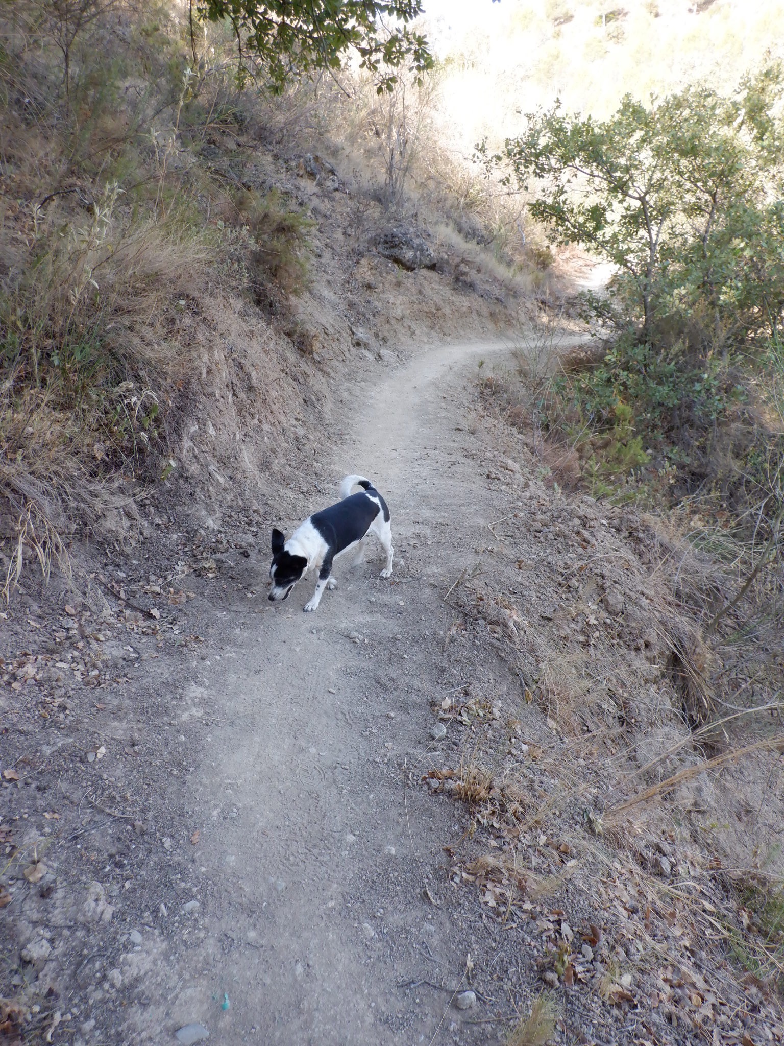
Our assistant guide was with us again that day.
Several miles into the walk, in the middle of nowhere, we came to this tree. David says it is the oldest and biggest tree in Antequera. How anyone knows that, I have no idea.
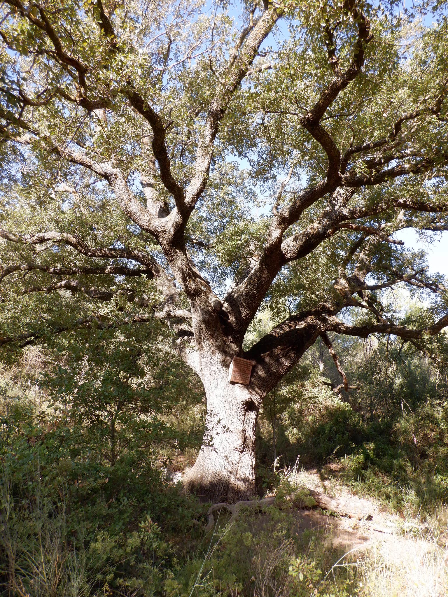
This sign was attached to the tree. Basically is is a memorial from a man to a couple of family members who have died, but also an admonishment to respect and enjoy nature. David pointed out the irony of nailing a board on a famous tree which tells people to respect nature!
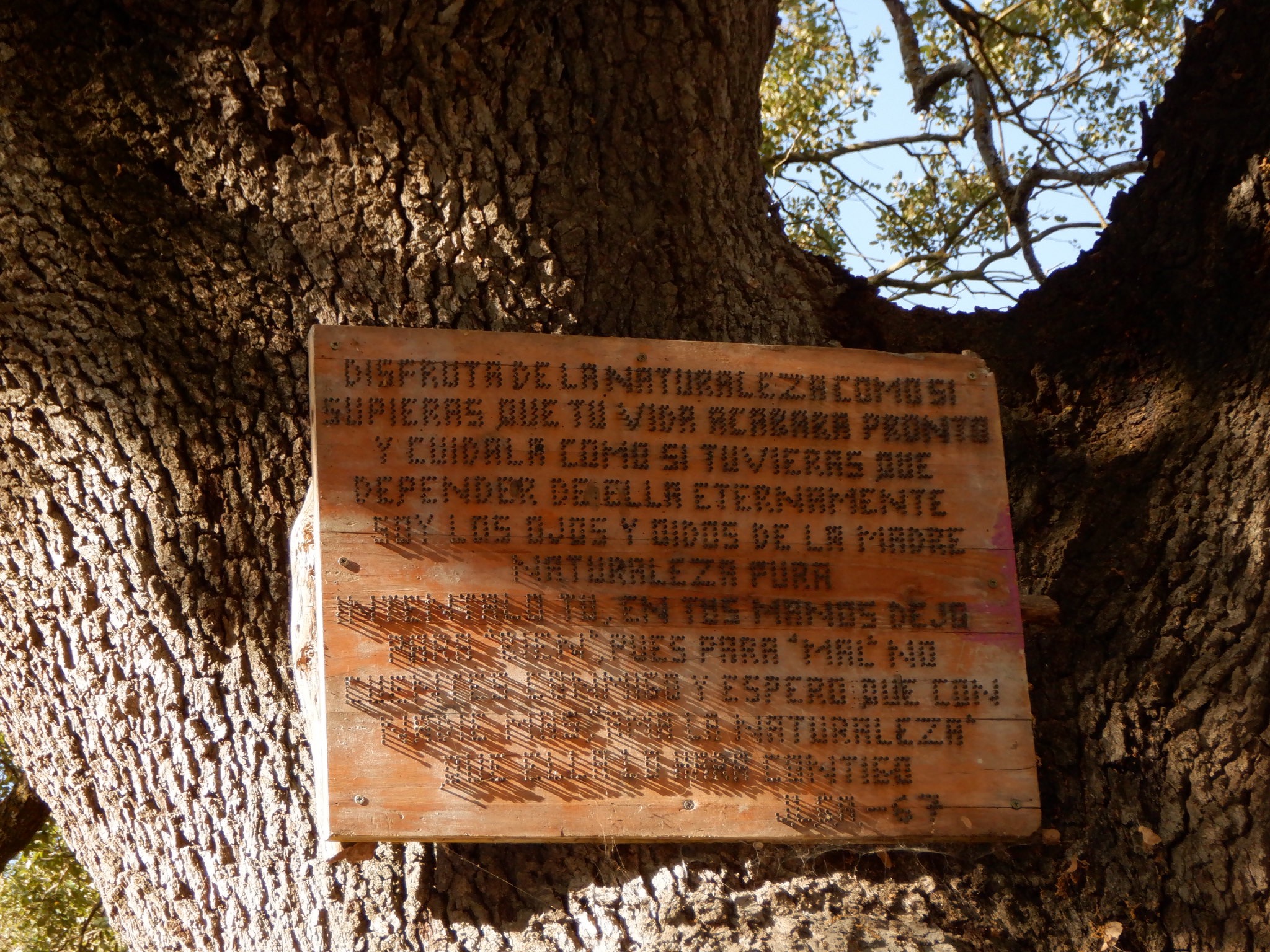
The interesting thing about this sign is that it is done completely in nails. See how tidy the lettering is at the top and how the sun helps to reveal the nails below.
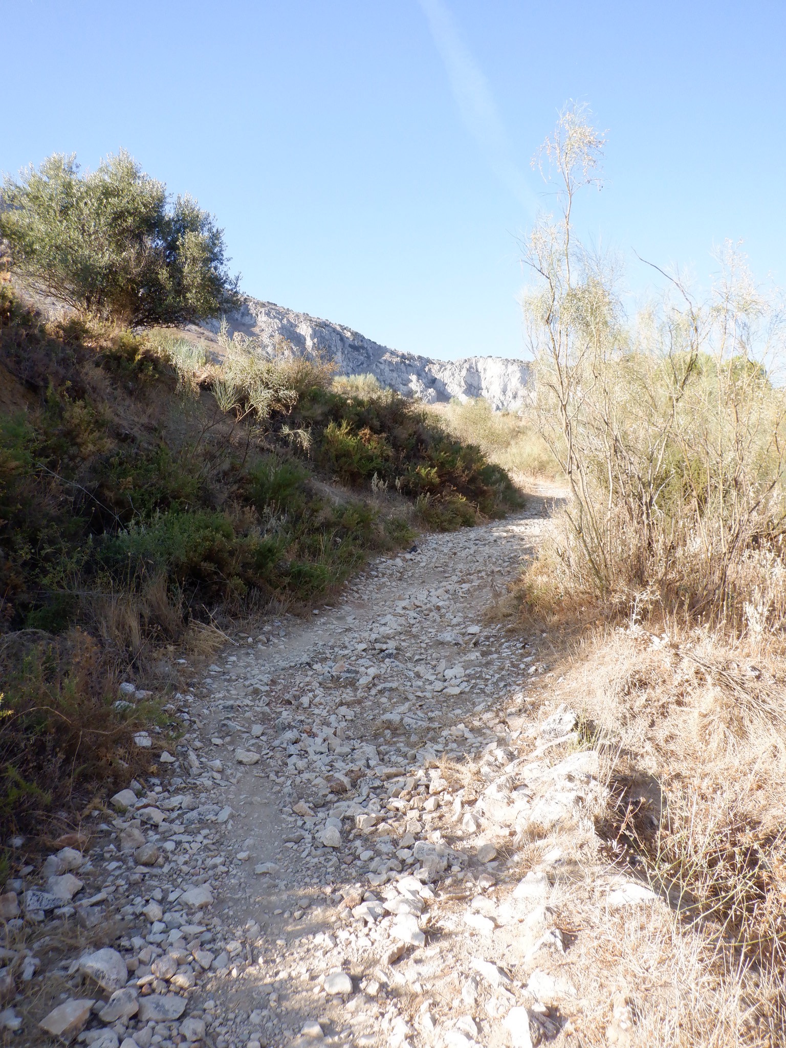
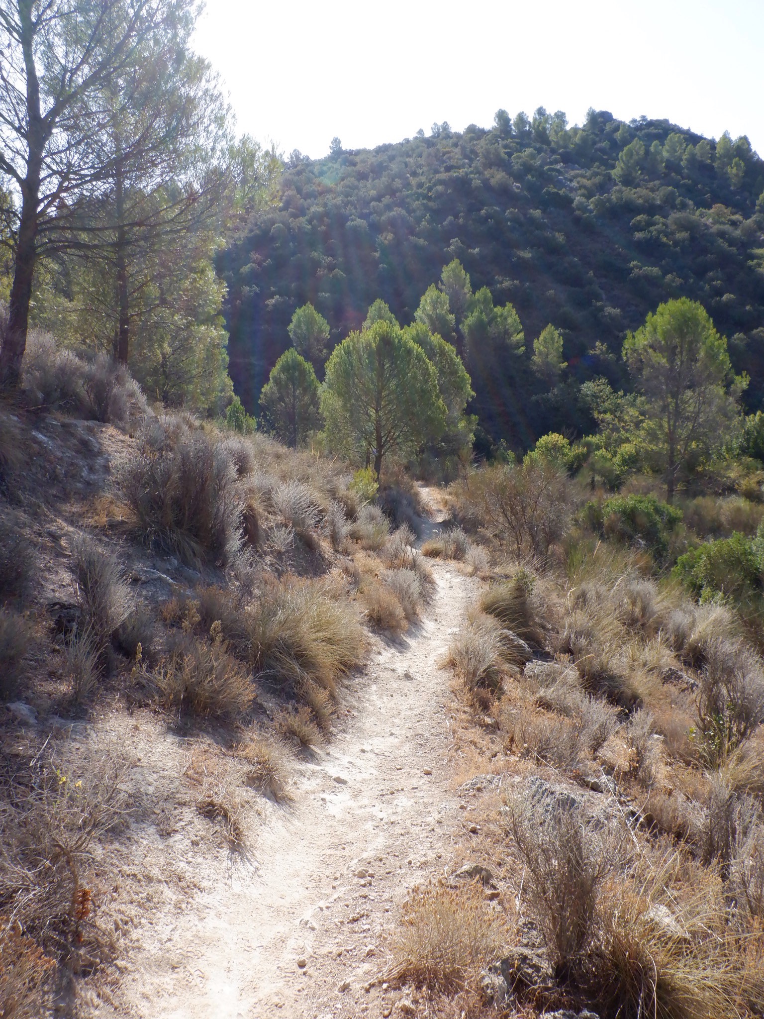
The path we were walking on:
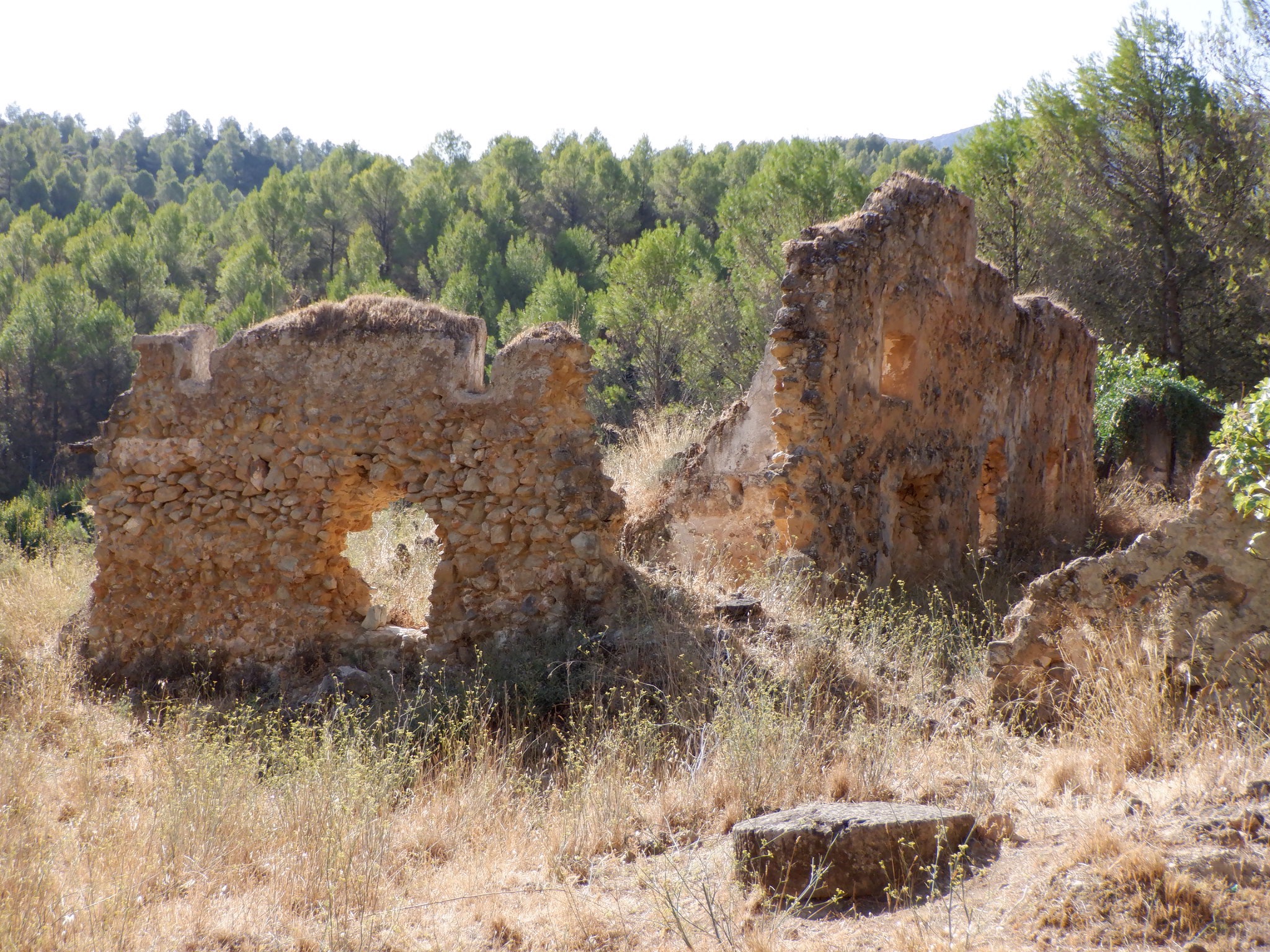
We came upon another ruin. This one was once a ranch house according to David.
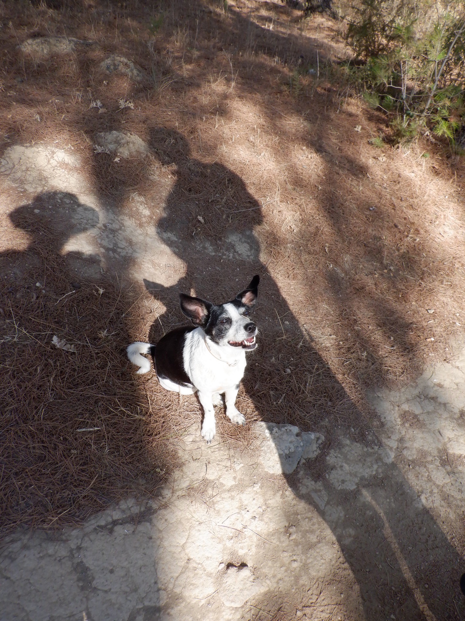
We took a break and someone was quite interested in sharing our snack! That’s the only time Lily wasn’t in constant motion all day. (Until we got back to the van where she slept on my lap all the way back to the hotel.)
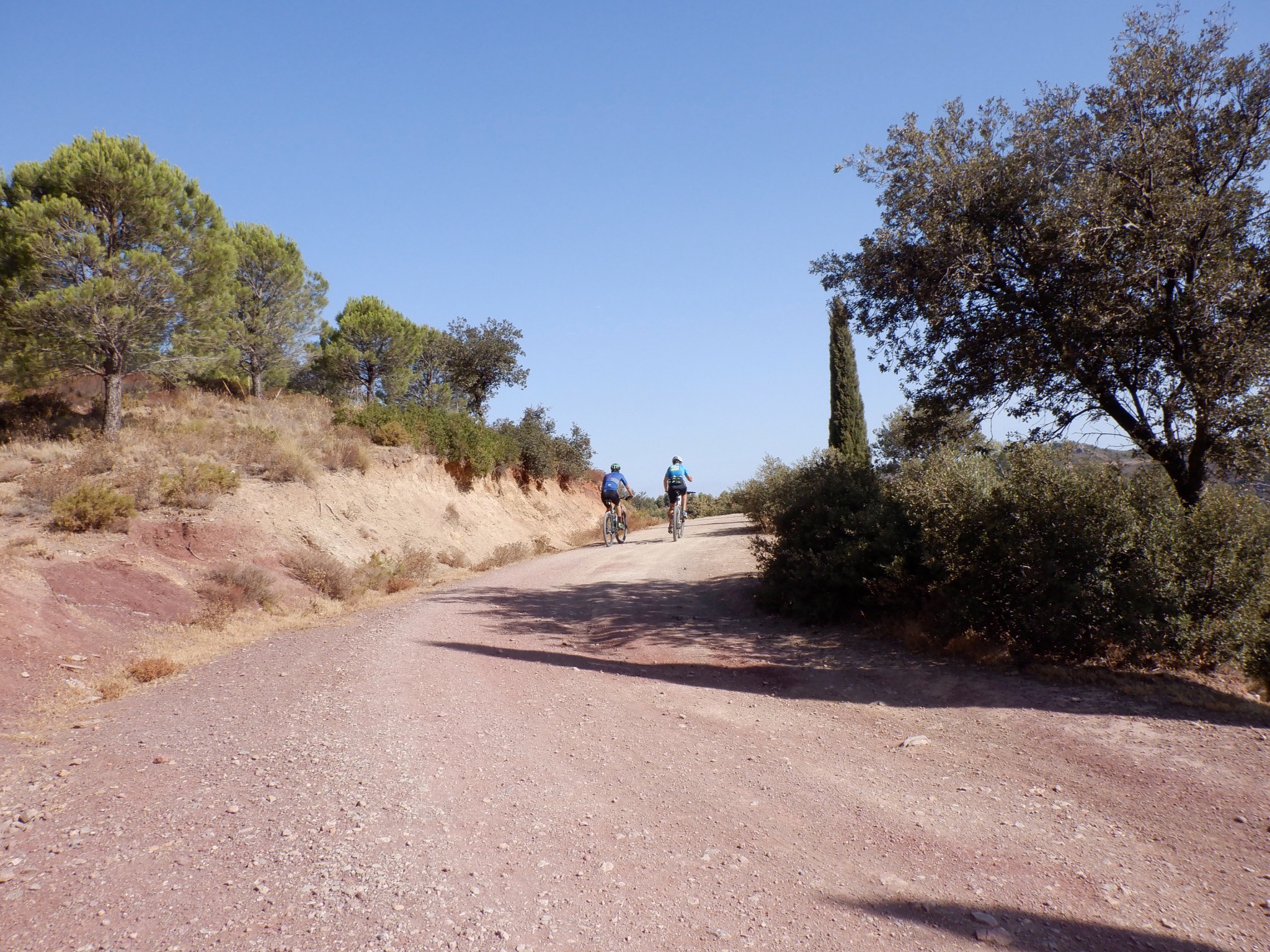
The road widened out and we met some oncoming mountain bikers. Most of the trails/paths we’ve been on so far here are well used by mountain bikers and I have to say – wow! We could barely walk them; riding a bike back in there would be really hard. Some places had jumps and ramps too (both man-made and natural).
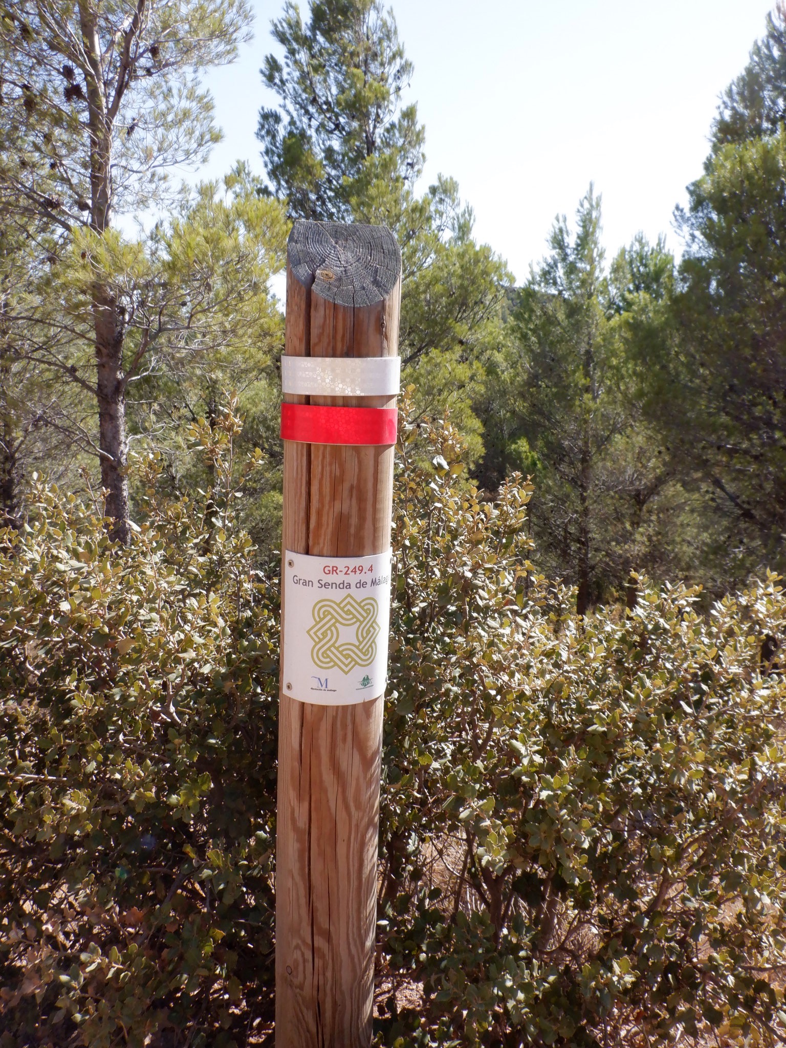
This part of our hike was along a marked hiking route that is for a side-path off the Great Malaga Path. The Great Malaga Path is a 400 mile circular route for hikers to explore the region. Pretty much every country in Europe is criss-crossed with marked trails for hiking or biking. There are 12 designated “long distance paths” in Europe that cover close to 45,000 miles of walking. These paths touch or cross through most of the countries in Europe. That doesn’t include the various local/regional paths.
More scenery:
As we circled back to the park, we passed through this tunnel to get under the road.
We walked through the park -which looked almost abandoned. I think maybe because of the recent Covid shutdowns.
That afternoon we were scheduled for a swimming session in the pool. Ramon put us through our paces with laps and a variety of other exercises that helped him figure out how comfortable we are in the water. The answer to that is VERY. I think he was pleasantly surprised.
On Sunday, we went to El Chorro for kayaking. It was the only activity for the day, YAY! El Chorro is a recreation area about 30 minutes away that was created by several dams. It is set at the confluence of three rivers and the dams created 3 different reservoirs for the area water supply. There is lots of land for hiking, picnicking, and swimming. Power boats are not allowed on the lakes. It is really a nice area. On past visits, there was first a short hike and then kayaking. They gave us a choice this time and we decided to just kayak. It was probably a good call because the park was extremely crowded that Sunday and I think hiking would have been similar to a walk in New York City, rather than nature.

Crossing a bridge near the first reservoir.
Before the dams, the combined rivers created a gorge through the mountain. It is interesting to see. When the dams were built, those involved engineered a path up high along the gorge wall so that when the King of Spain came to inspect the new project, he could walk into the gorge, It fell into disuse over the years, but a few years ago they decided to repair it and it has become a huge attraction. The park is jammed with people wanting to walk the “Caminito del Rey” -especially on weekends.
I found a great YouTube video that really shows some amazing aerial views of El Chorro and the Caminito. It starts with some general views of the park and then ends with the Caminito video. I wouldn’t mind doing it someday -but it isn’t part of this program. https://www.youtube.com/watch?v=9HJhwenwOf0
Sendero Sur has their own kayaks, but due to the arrival of the zebra mussel, the park has outlawed “outside” water craft. The outfitter Sendero Sur usually uses to rent kayaks had already closed for the season. They found a “Plan B” at this place.


Our chariot awaits:

Sit-on-tops aren’t our favorite -but we rolled with it. The other bad news was that it was quite windy once we got out of the protected area we were in.
Our guide for the day was Jose. He is David’s brother.


First we paddled toward the “engineer’s house”. I believe this is where the engineer lived during the building of the dams. Jose doesn’t think anyone lives there now. It sits on a point of land with water on both sides. From the other side you can see a bit more of it -but this is what we saw.

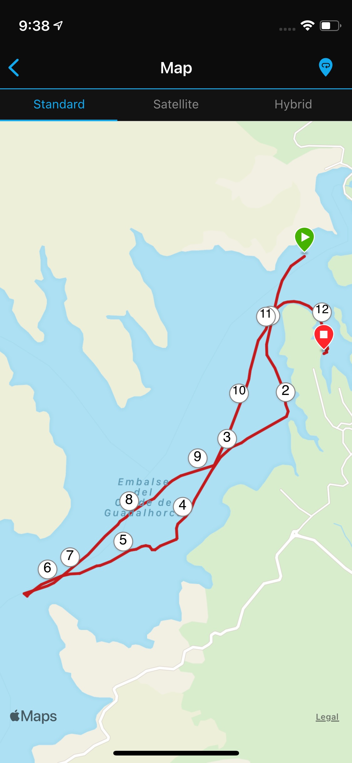
Then we went out into the “wind tunnel” out on the lake. We paddled about 5 miles -but it felt like 100.


We have some Garmin watches that track our outdoor activities. Here is what the map of our paddling route looked like: (The green arrow marks the engineer’s house)
 When we finally dragged ourselves back into the little sheltered area, I asked Jose how much lower than normal the water is this year?

He pointed to the bit of rock you can see between the two areas of green across the water on the right side of this picture. He said normally the area of green to the left is an island…that the water covers the rocky area completely.
Mike took a dip after we got back.

We were back to the hotel for a late lunch and we took full advantage of the rest of our day off by…resting!
Categories: Antequera Spain 2021 Part 4
Leave a Reply